Grand Italian Trail - Stage 6 - Casentinesi Forests National Park

“Linea 7000” is a project that aims to show that all of our mountains and trails are easy to reach using public transport. The project, which comes from an idea by Gian Luca Gasca and is promoted by the Club Alpino Italiano [CAI - Italian alpine club], focuses on the route of the Sentiero Italia CAI [the Grand Italian Trail], the world’s longest trekking route, which crosses the Alps, the Apennines, and also the mountains on Italy’s two largest islands. It is a long route that can also become an opportunity to discover Italy in a conscious manner, having a lower impact on the environment. For this stage, Gian Luca is taking us to the Parco Nazionale delle Foreste Casentinesi [Casentinesi Forests National Park], on the watershed between Tuscany and Emilia Romagna. Let's take a look at how to reach the trails using public transport.
How to get to Parco Nazionale delle Foreste Casentinesi
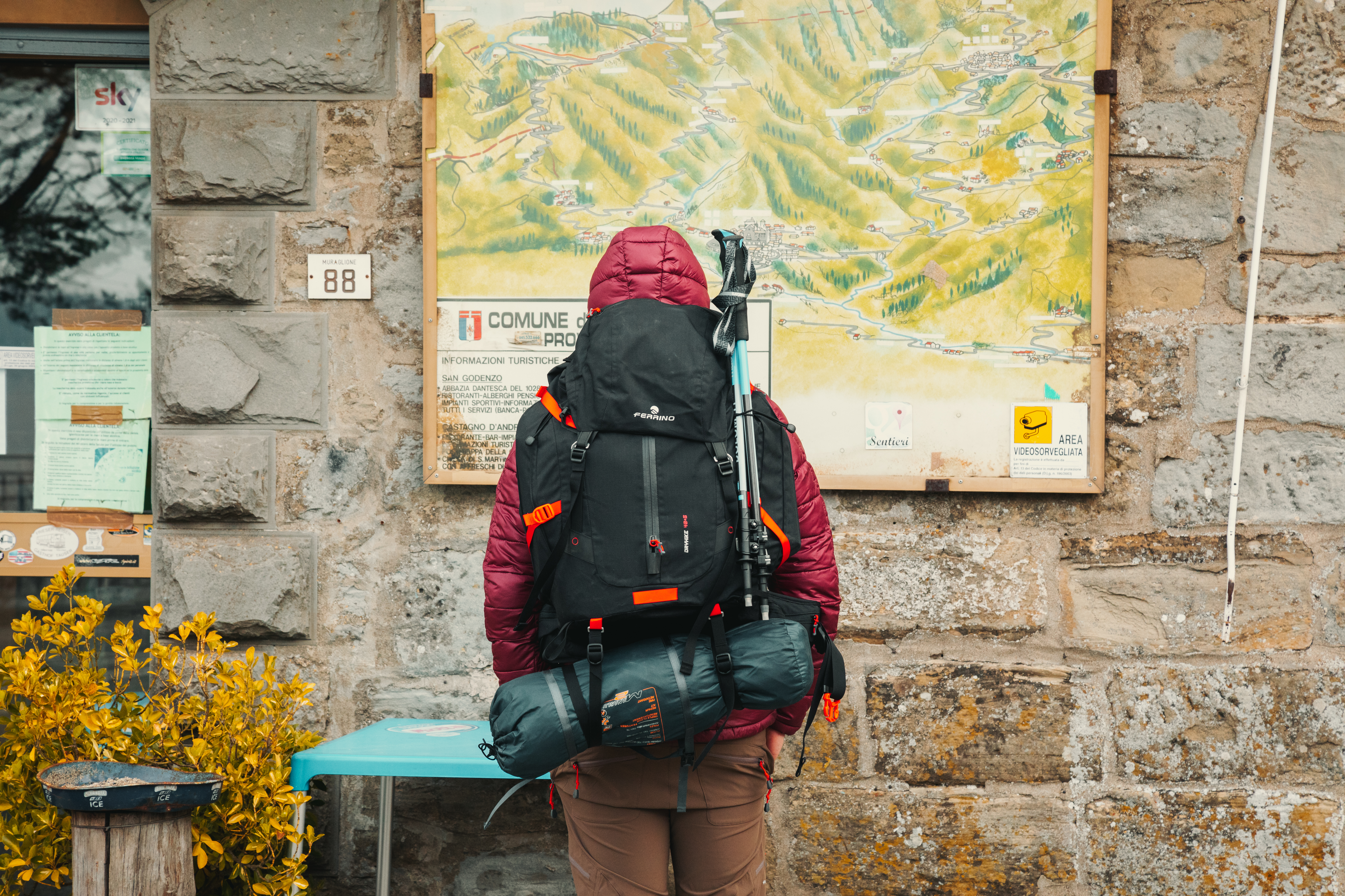
The easiest way to get to Foreste Casentinesi is to set out from Florence. The internationally renowned art city of Florence is easy to reach using the high-speed trains that depart from Italy’s major cities (Milan, Rome). The closest airport is Bologna, which is an hour away from Florence by train.
From Monday to Friday, there are several bus services from Florence to Passo del Muraglione, leaving from Florence bus station at different times. There are not many buses, but the morning services coincide with the needs of walkers, getting them to the Pass no later than 8:00 (Line 322 - Sitabus). After disembarking at Passo del Muraglione, you are already on the Sentiero Italia CAI route, on the watershed between Tuscany and Emilia Romagna.
The different stages
Passo del Muraglione – Passo la Calla
Length: 15.11 km
Difficulty: E
Difference in level: 830 m
Signs: red and white circles
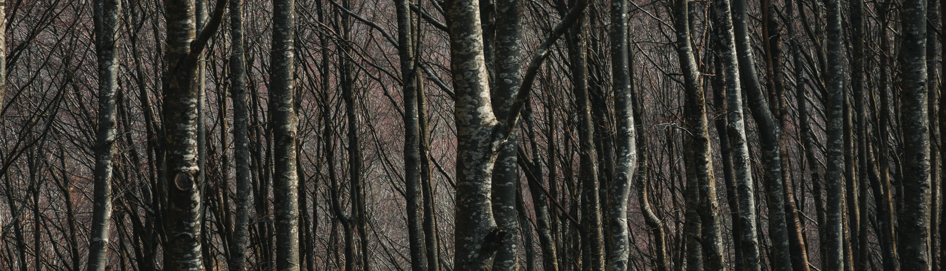
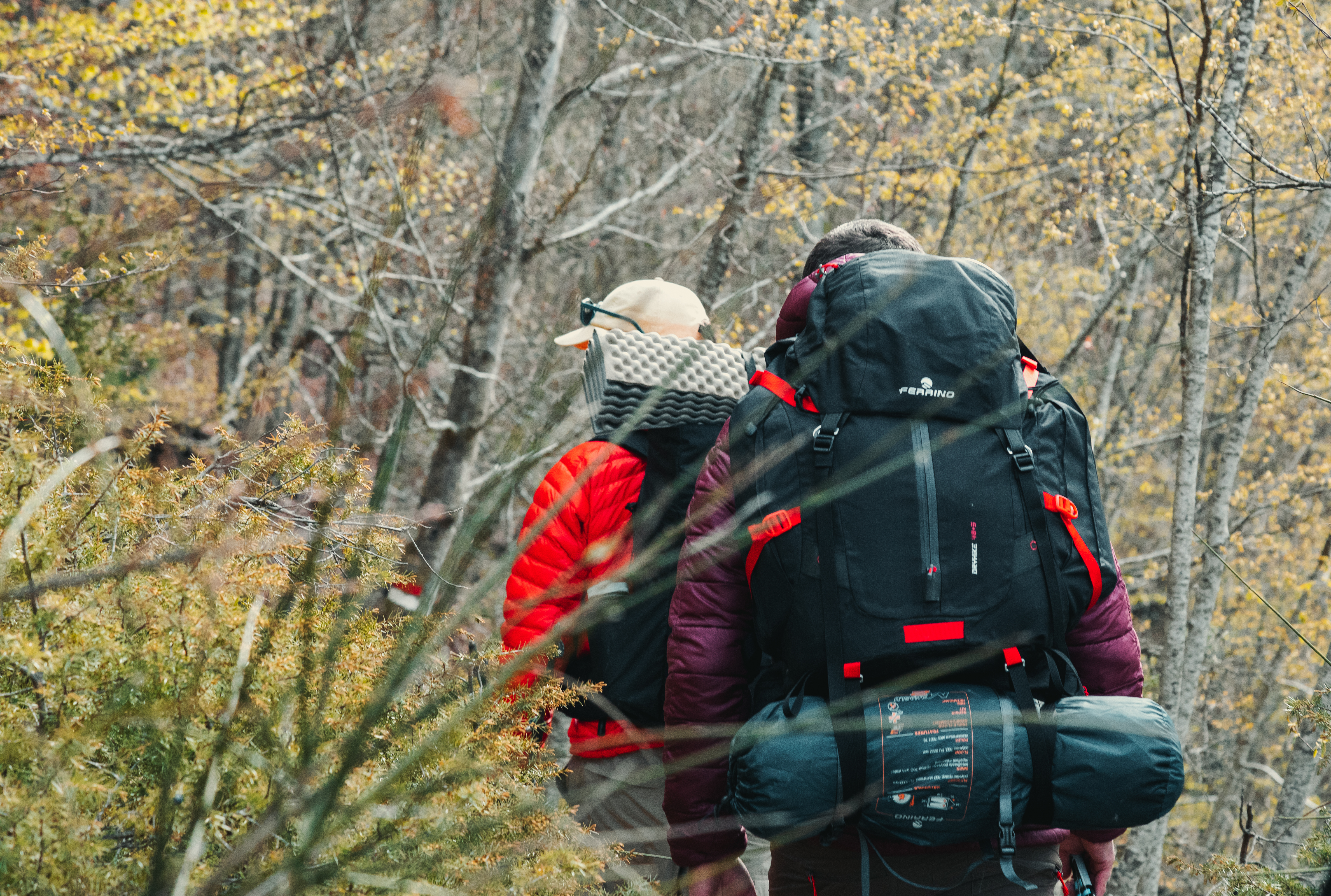
From Passo del Muraglione, this medium-length stage with a rather challenging difference in level, mainly follows the jagged Apennine ridge, accompanying us southwards. The trail is almost all through woods, with continuous ups and downs over a well-marked route. Being on the watershed, there is no shortage of wind, with cutting gusts from the Emilia hinterland, across to the Tuscan coast. That is why, where the slope becomes less challenging, walkers often leave the ridge path to walk a few metres lower down, where the wind is not so harsh. About halfway through the journey, you will come to Passo Piancavalli, where it is possible to stay for the night or leave the path, at the point where it starts the ascent to Passo la Calla. At 1296 metres, this is the highest pass in the Apennines between Tuscany and Emilia, and also the route from Florence to Forlì.
Passo la Calla – Badia Prataglia
Length: 17.62 km
Difficulty: E
Difference in level: 411 m
Signs: red and white circles
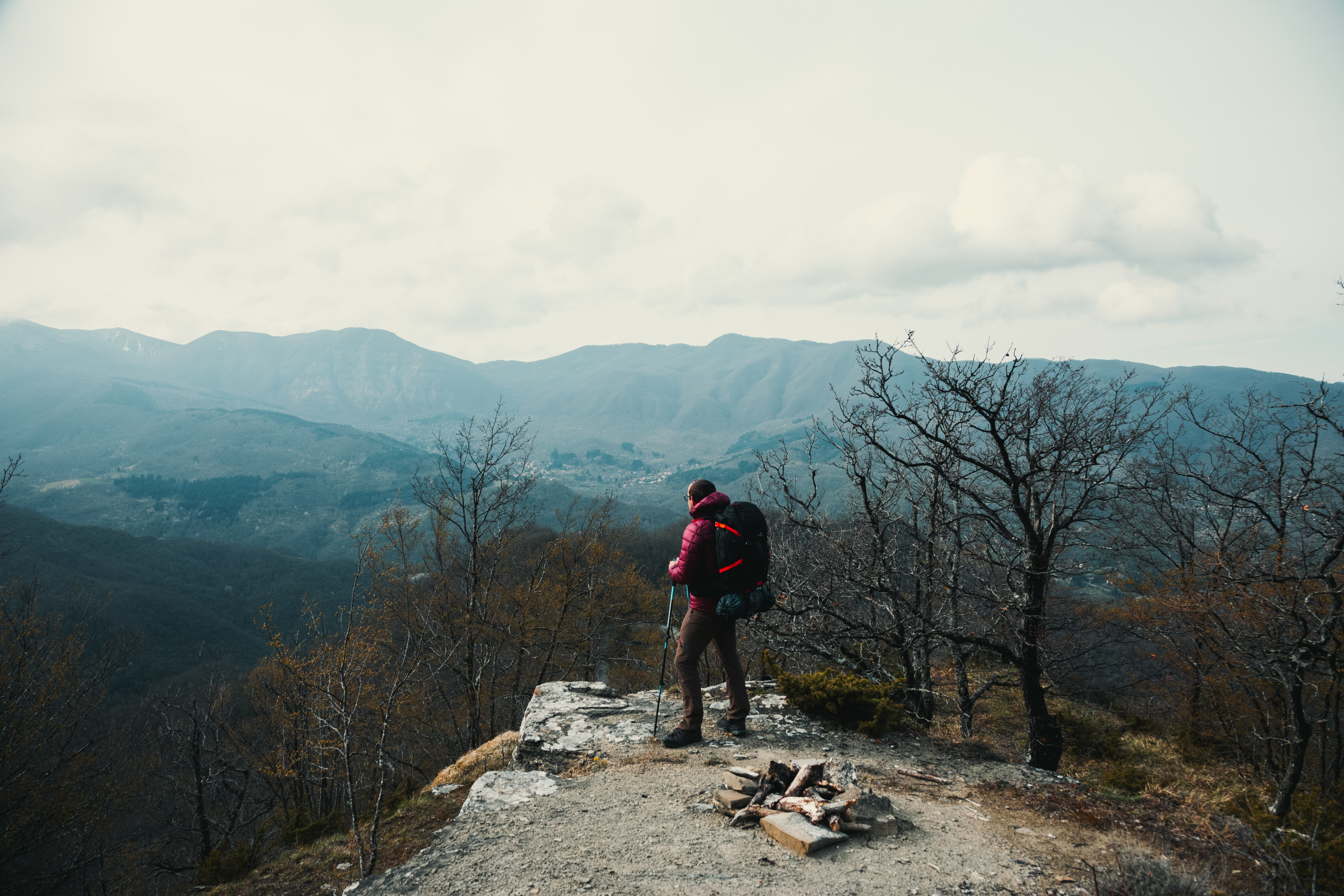
From the main road of Passo la Calla, moving south, the route follows a wide cart track into the woods, with a constant descent through the dense trees. A short way further on, the path begins to climb along the mule track, becoming an easy path. From here, you reach Poggio Scali, at an altitude of 1520 metres. The route continues gently through the woods and every so often, it touches the bordering ridge before going back down in search of a passage that is not so exposed to the strong ridge winds. During the walk, some points touch on the confines of the Sasso Fratino reserve. This is an area of the park where people are not allowed, unless for study motives. Here, nature continues to follow its own rhythm, with no interference from the outside. It is the practical demonstration of the fact that forests have no need of human intervention to survive. It is thrilling to walk on the outskirts of an area where our passage is “prohibited”, where we have no say in what goes on past this point.
The final part of the walk features a detour up to the nearby monastery known as the Eremo di Camaldoli. It is only a short detour and it is highly recommended, since the location is stunning as well as very important in terms of local history. Past the monastery, the route proceeds downwards as far as Badia Prataglia, both headquarters and main entrance to the Parco Nazionale delle Foreste Casentinesi. The visitors centre in the park with trunks of surprising dimensions, is well worth a visit before you head off on the route home.
Return
From Badia Prataglia, the return to Florence is not the smoothest of journeys, but with a little organisation, there should not be any problems. From Monday to Friday, there are direct services through to Florence, although these do not run very frequently during the day. Alternatively, there are more frequent services to Poppi and the train station with regional services to Florence. We recommend checking the public transport services run by Etruria Mobilità beforehand.


Share this article