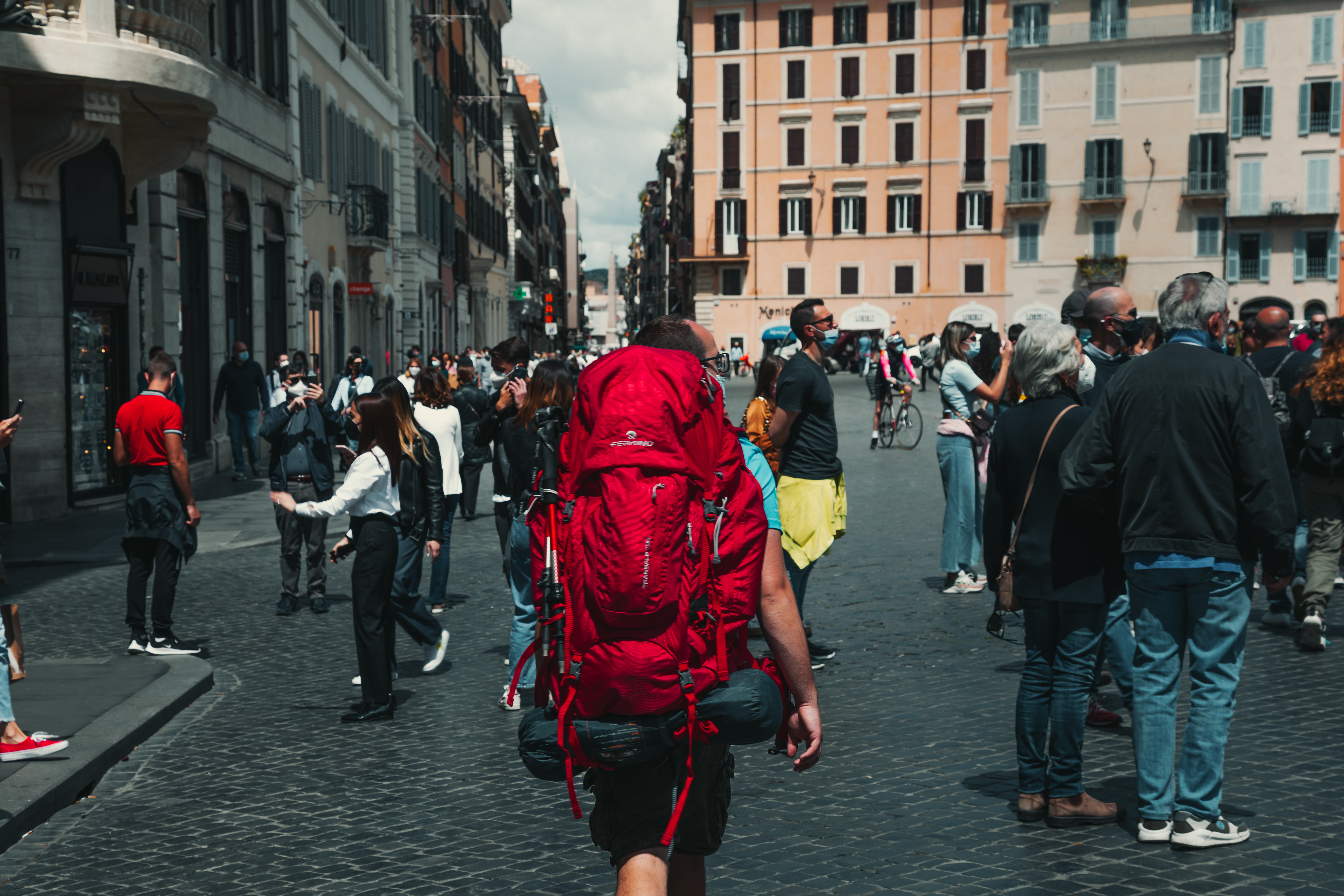
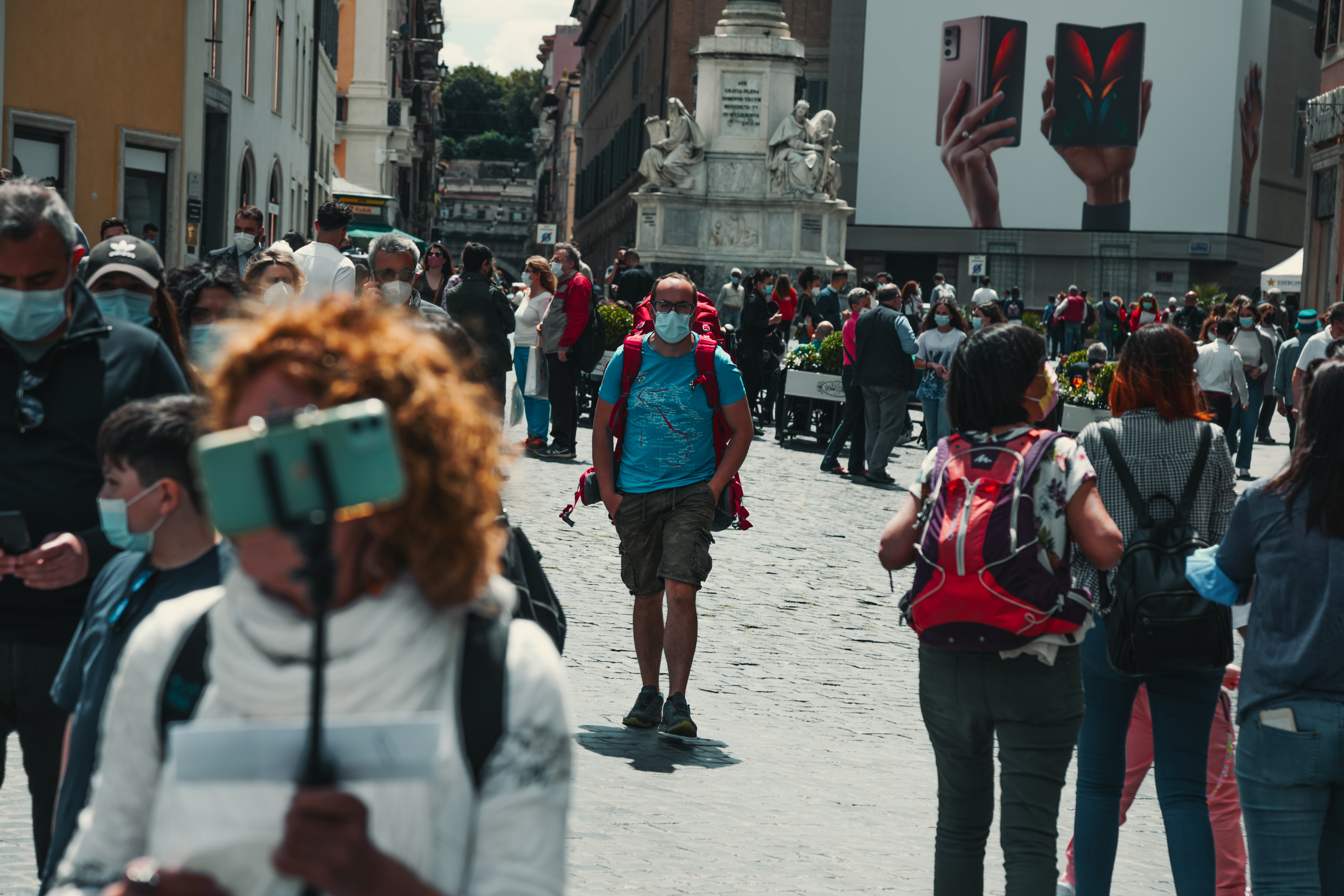
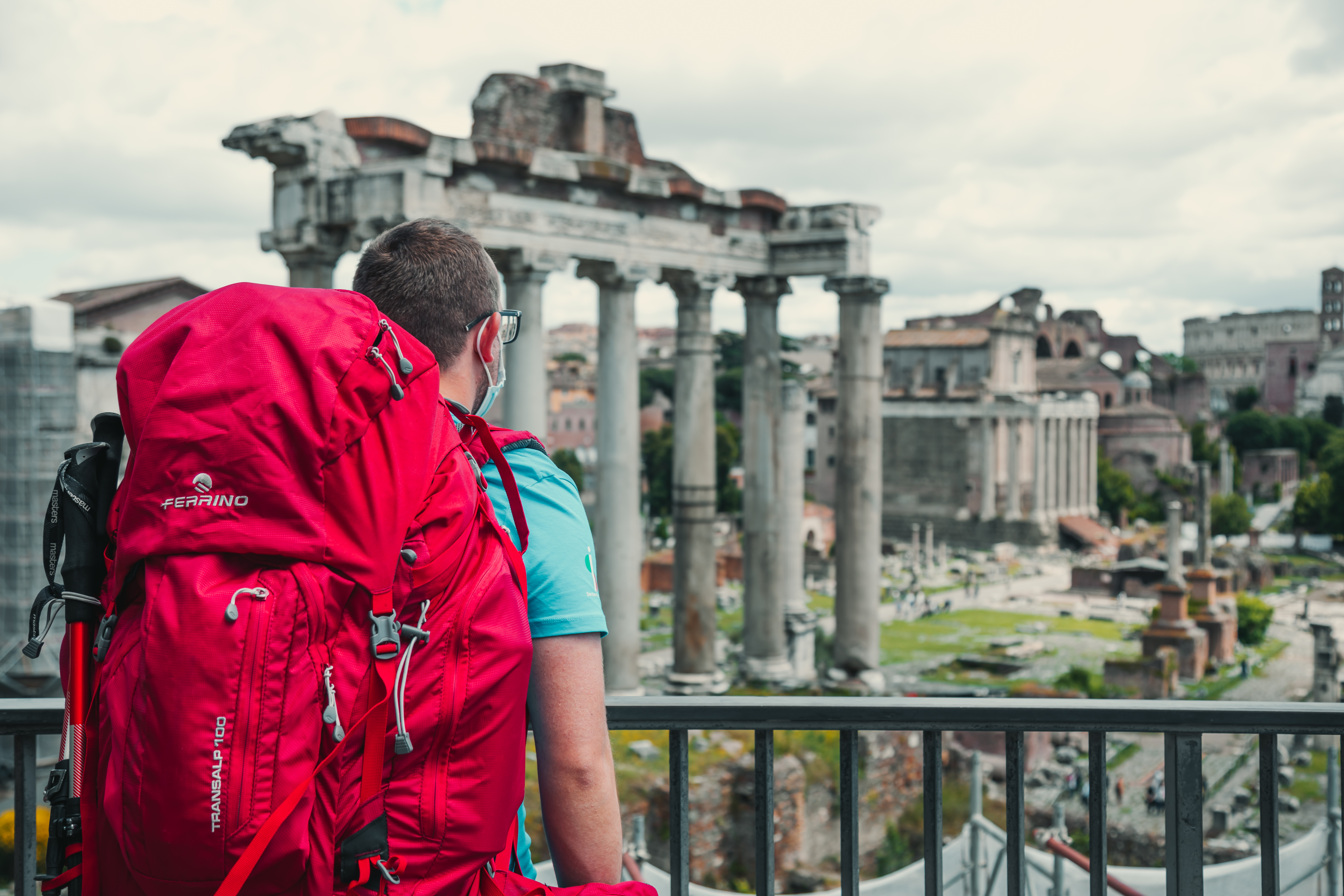
Grand Italian Trail - Stage 3 - Abruzzo and Maiella

“Linea 7000” is a project that aims to show that all of our mountains and trails are easy to reach using public transport. The project, which comes from an idea by Gian Luca Gasca, promoted by the Club Alpino Italiano [CAI - Italian alpine club] and supported by Ferrino, focuses on the route of the Sentiero Italia CAI [the Grand Italian Trail], the world’s longest trekking route, which crosses the Alps, the Apennines, and also the mountains on Italy’s two largest islands. It is a long itinerary that can also become an opportunity to discover Italy in a conscious manner, with a low impact on the environment. This episode of Gian Luca’s journey is taking us into the Majella and Gran Paradiso National Parks. Let's take a look at how to reach the trail using public transport.
How to get to Majella
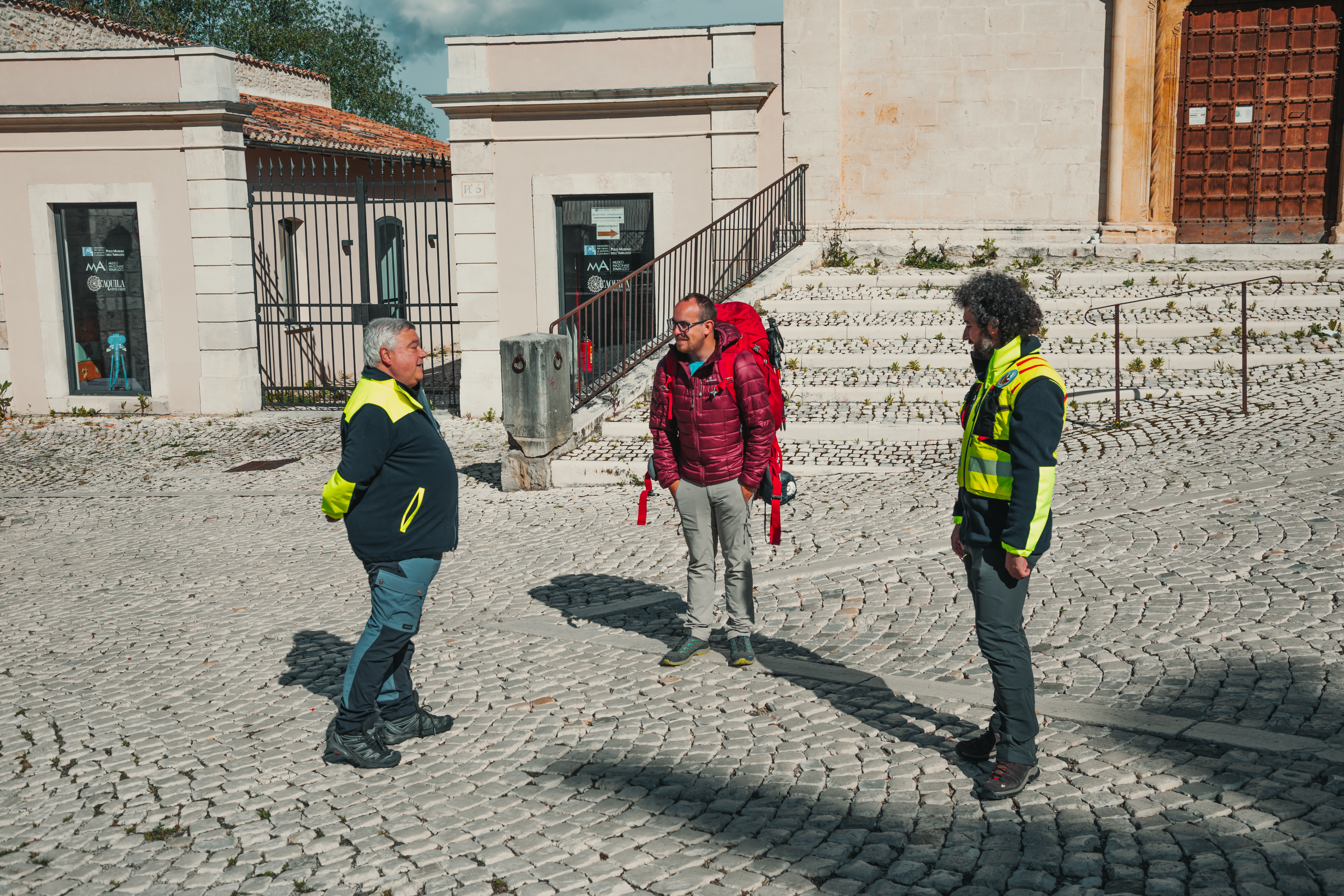
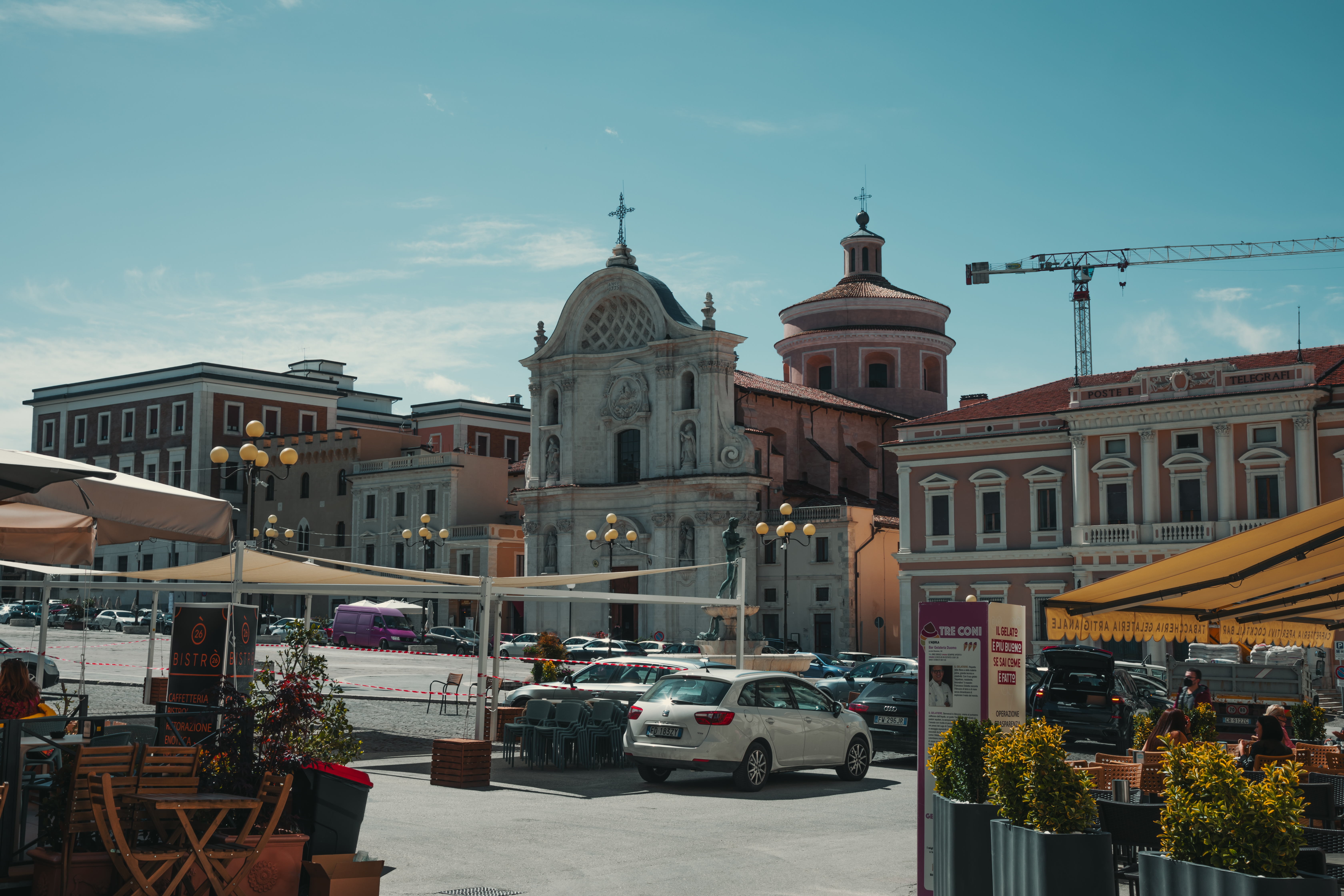
The gateway into the Majella National Park is Sulmona, a little town that, as well as being the starting point for exploring the trails through the park, deserves a visit to its lovely centre and the nearby Hermitage of Sant'Onofrio al Morrone.
Sulmona can be reached easily from Rome on one of the frequent direct regional trains (2 h 30 min), or from Pescara, on the Abruzzo coast. Pescara is easily reached by high-speed train (1h 30 min.).
Towards the trails on Majella
It takes just 45 minutes to reach the start of the Sentiero Italia CAI from Sulmona. There are frequent bus services, leaving hourly to reach Campo di Giove, and from here, to begin your walk on Majella.
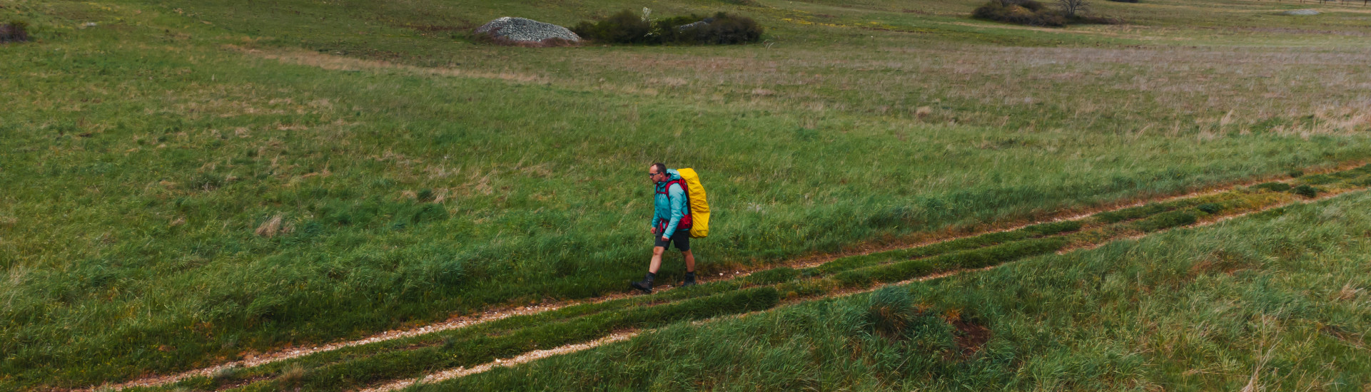
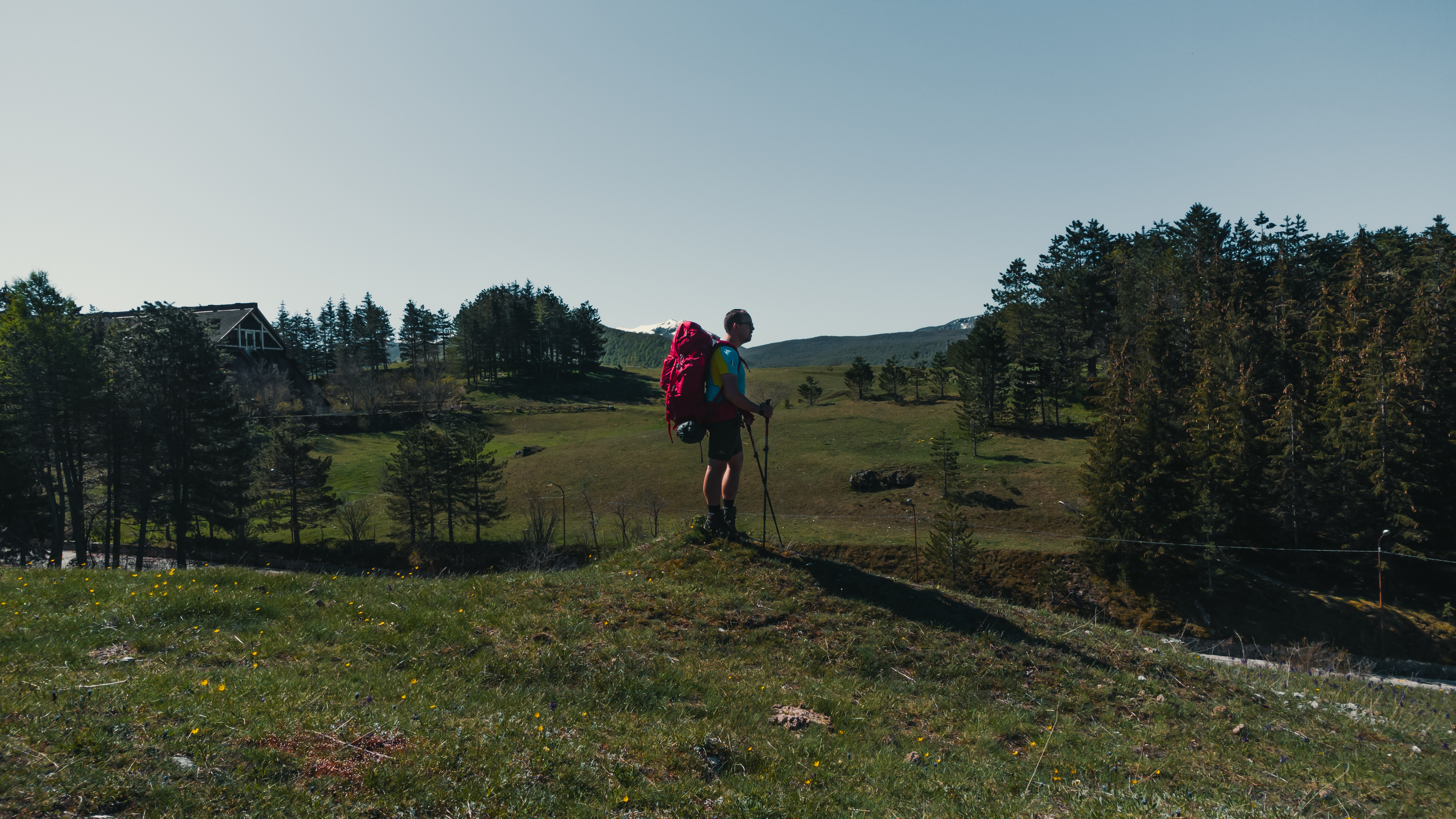
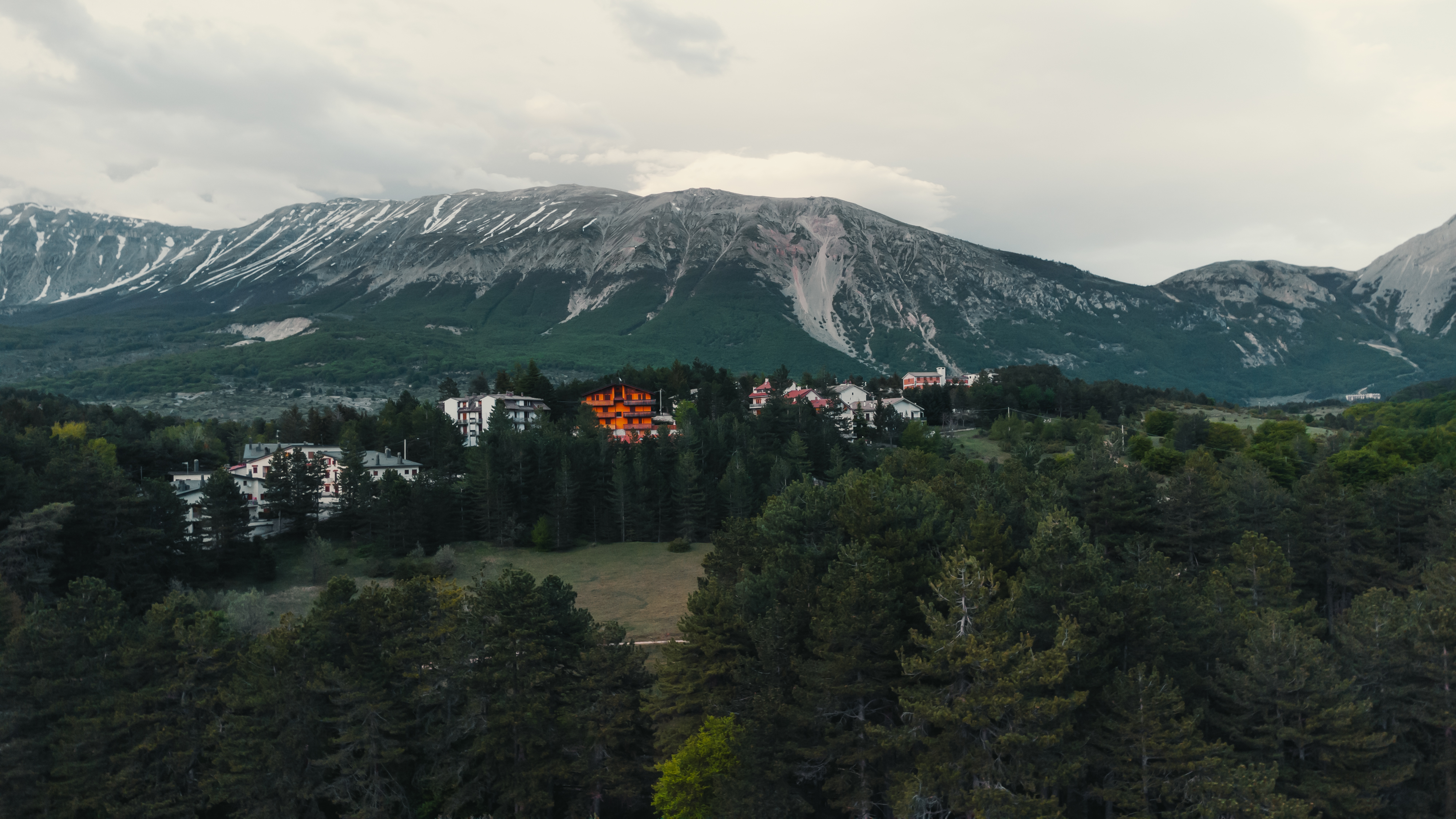
Our stage
Campo di Giove - Roccaramanico
Length: 18.88 km
Difficulty: EE
Difference in level 1201 m
Signs: red and white circles marked “SI”
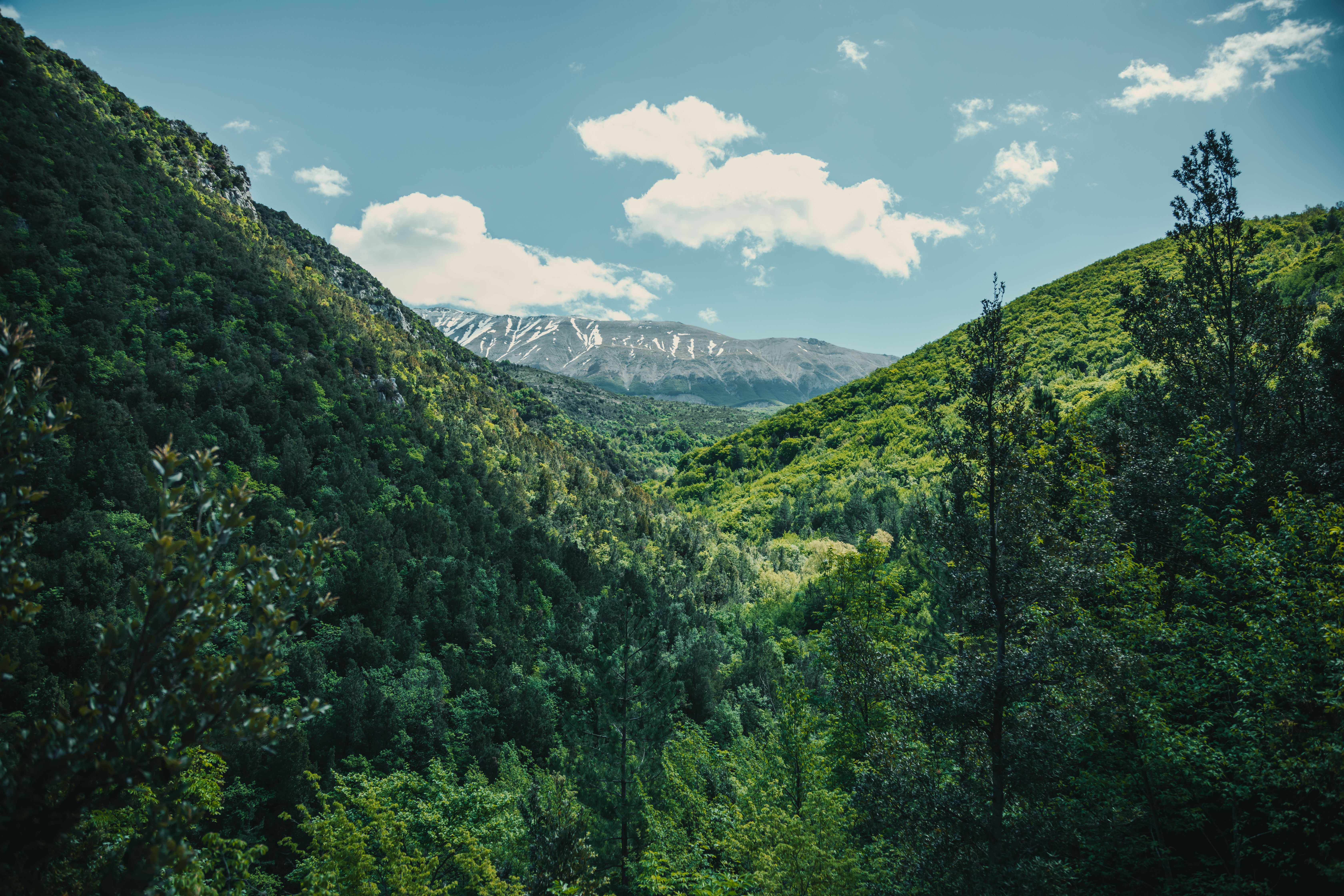
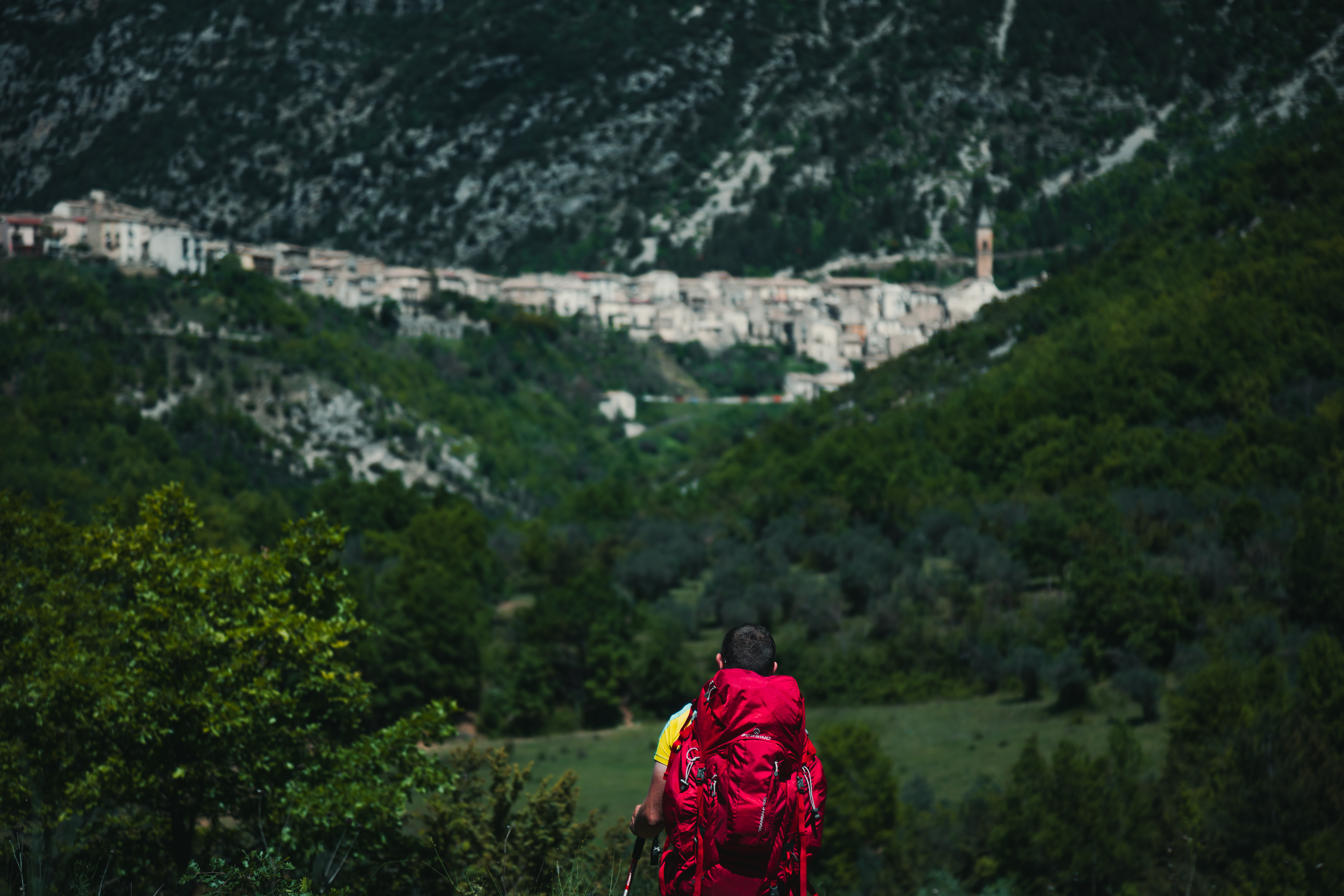
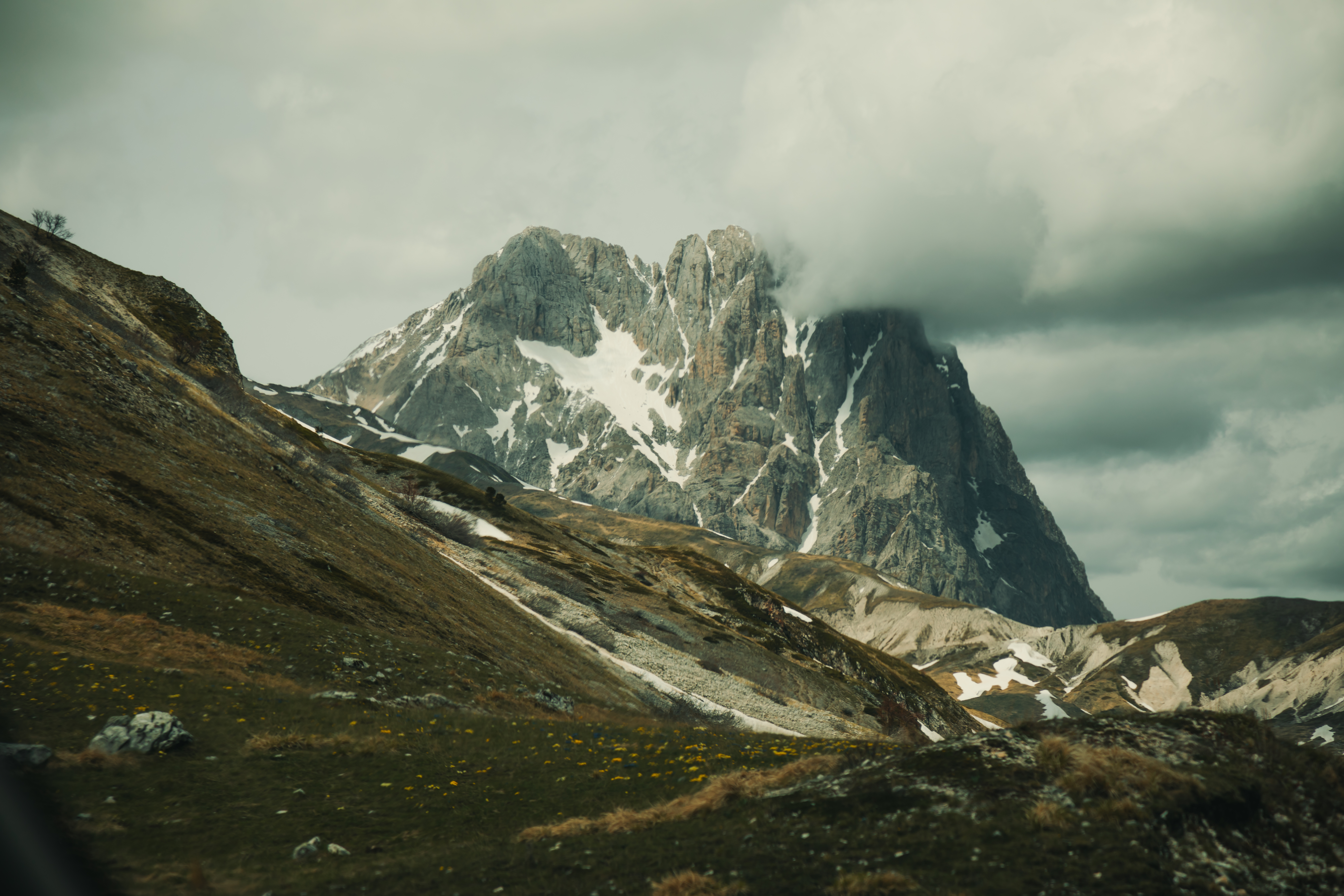
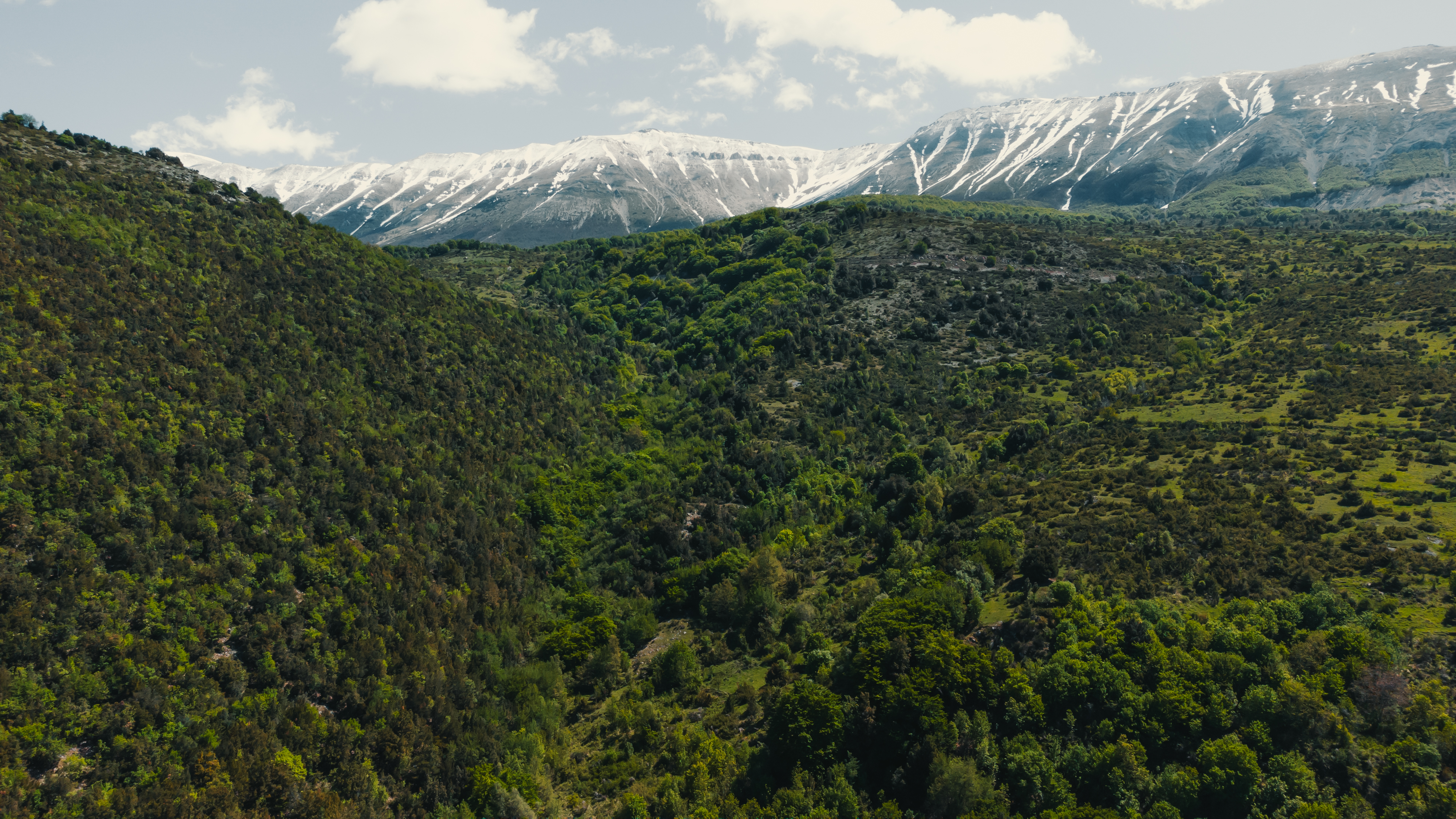
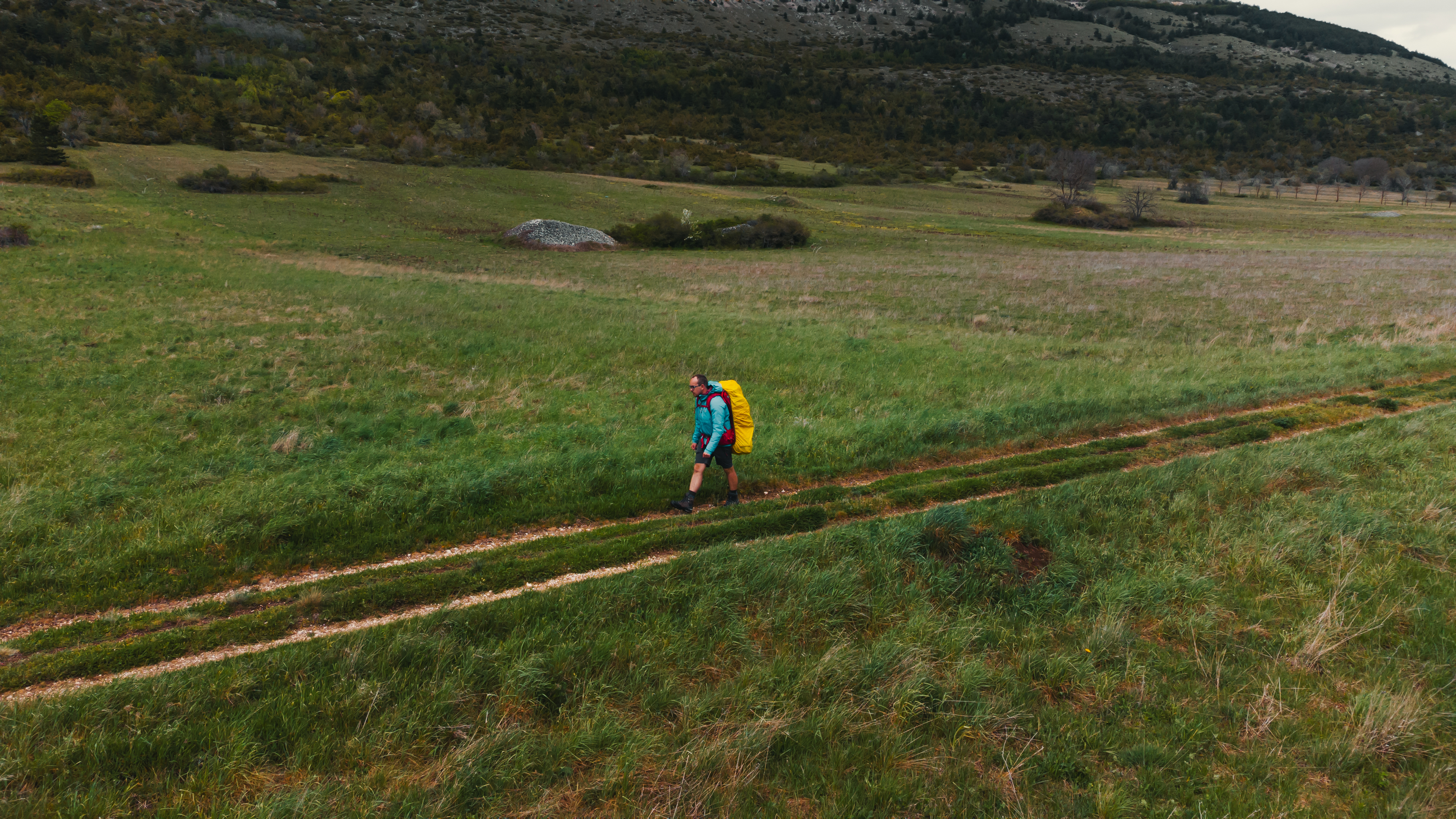
After leaving the centre of Campo di Giove, the path continues to follow a lovely valley, first in descent and then over a level section, with a few ups and downs. For a good part of the first section it is possible to admire, on the right, the Majella massif, which then disappears from view near to the town of Pacentro. The trail has continued on a flat to this point, but now we finally have the opportunity to deal with a nice difficult ascent that in a few minutes will take you to the asphalt road and the centre of town. From here, it is possible to return to Sulmona on one of the hourly buses that covers the 7 km between the two towns in just a few minutes. Alternatively, after exploring the little streets in the old town, you can continue along the section of the trail that curves towards the east, cutting across the hairpin bends of the Strada Statale 487 road in Caramanico Terme, which it skirts for a short section. The trail then takes a north-east bend, skirting the rocky crags of Morrone, and continuing to Passo San Leonardo. This is the foot of Monte Amaro which, with its 2793 metres is the highest point of the massif. After this pass, the trail begins to slope gently as far as the characteristic village of Roccaramanico. There are no buses from Roccaramanico but if you continue to descend the Q7 path, this will take you to Caramanico Terme which has regular services to take you to Sulmona in an hour (See the timetable on the website of Trasporto Unico Abruzzese).
To Gran Sasso
Once back in Sulmona, a bus ride lasting just a little over an hour will take you to Ofena (two changes required, in Bussi sul Tirino and Capestrano). This is the start of the Sentiero Italia CAI trail, which enters the Gran Sasso Natural Park before culminating in the Dolomitic view of the highest mountain in the Apennines.
The different stages
Ofena – Santo Stefano di Sessanio
Length: 19.2 km
Difficulty: E
Difference in level 947 m
Signs: red and white circles
Leave Ofena and continue along a section of the Regional Road 602, southwards until you come to the trail leading up to the east in Castelvecchio Calvisio. Once past this initial part, the trail continues gently. From Castelvecchio, we recommend that you take a small detour along the Sentiero Italia CAI to Rocca Calascio, where you will find one of the most famous monuments in Abruzzo, before going back on itself to the track that mid-way on the ridge, with Rocca Calascio above you on the right, will take you into the fabulous village of Santo Stefano di Sessanio. From here, a couple of bends will take you quickly up towards the village and the end of the trail.
Santo Stefano di Sessanio – Duca degli Abruzzi refuge
Length: 18.5 km
Difficulty: EE
Difference in level 1247 m
Signs: red and white circles
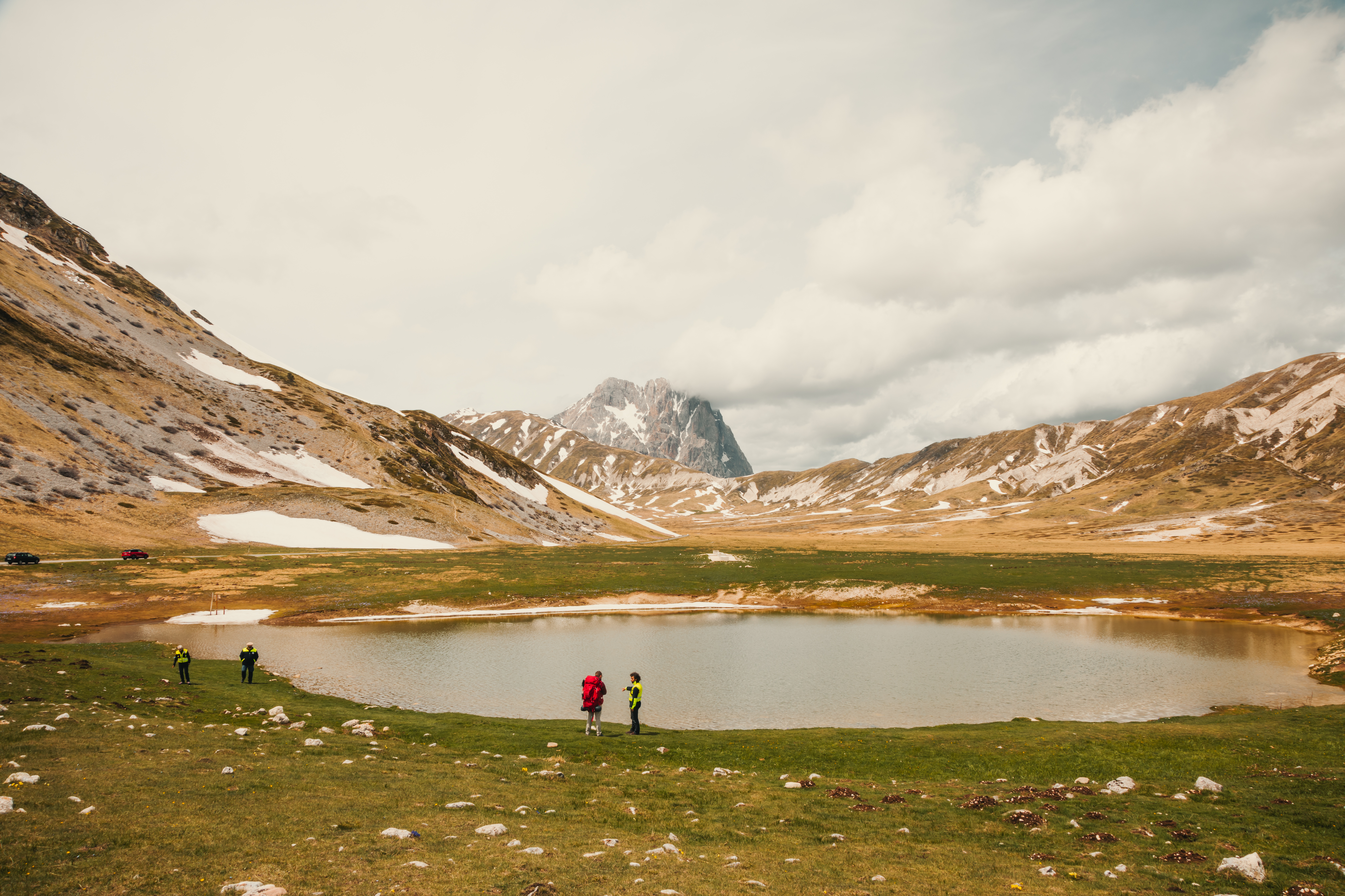
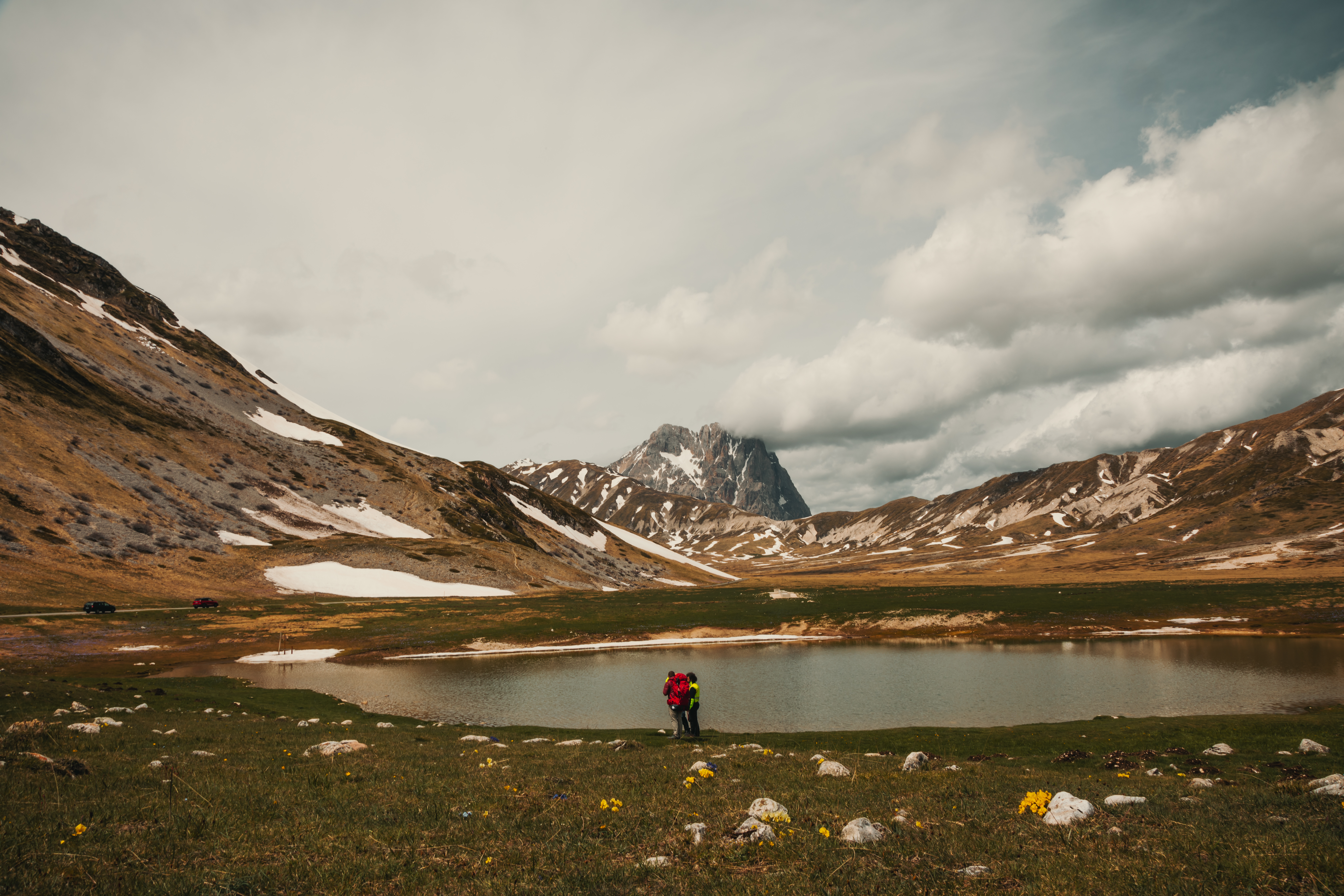
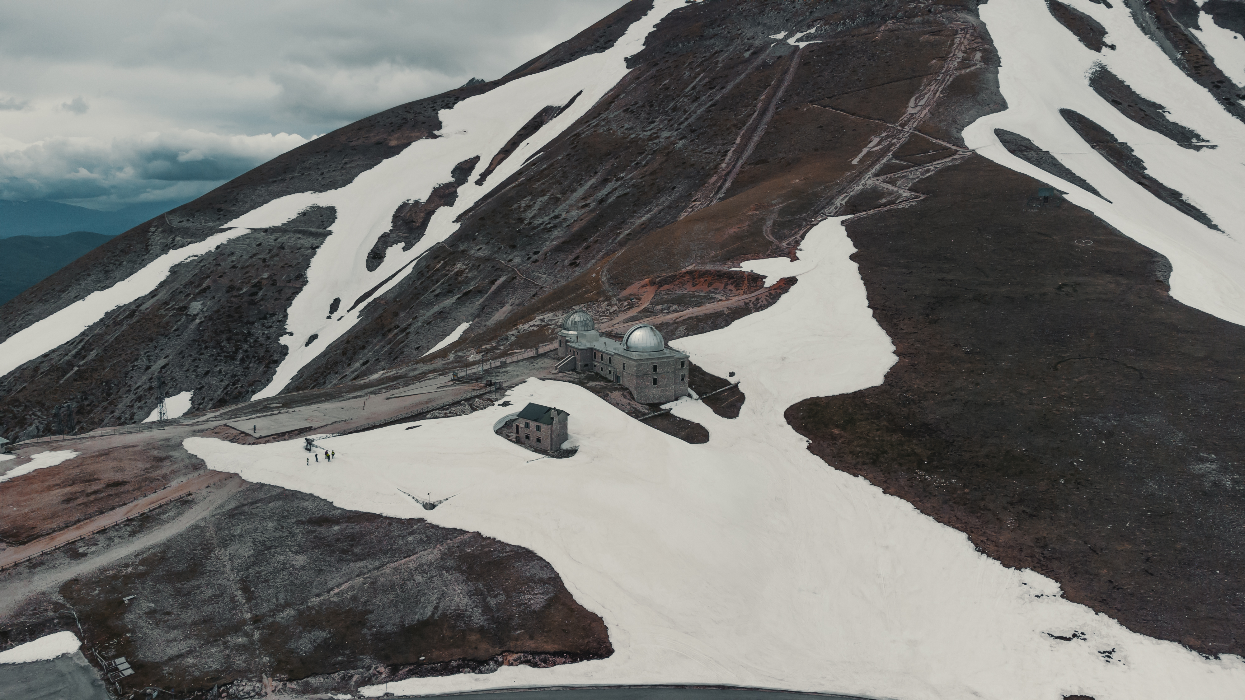
With the section that takes you to the Duca degli Abruzzi refuge, you will enter the heart of the park, as far as the rocky Gran Sasso d’Italia, the highest peak in the Apennines. Past the few houses of Santo Stefano di Sessanio, the path continues northwards with a gentle climb, wending its way between the peaks of Monte Cappellone, on the left, Monte Tre Clli on the right, and Monte Cecco, a little further ahead. The route then takes a westerly direction, skirting Campo delle Ginestra and Monte Mesola, on the left. Once past this scenery, the views becomes vast, overlooking the famous Campo Imperatore ("Emperor's Field"), a plain where the sky is almost Patagonian in appearance. Continuing along a valley, you will come to the Strada Statale 17 bis road, in front of Gran Sasso. We are now at the Campo Imperatore hotel, the starting point for the steep climb up to the Duca degli Abruzzi refuge, the end of this stage and visible from the plain.
Return
From the Duca degli Abruzzi refuge, we return to Campo Imperatore, location of the mountain station of the Gran Sasso lifts. From here, you can just take the cableway, which operates daily in summer from 7:30 until 19:00 (every 20 minutes - for more information, contact the managing body) From the arrival of the cableway, downstream, local transport services can take you to the centre of L’Aquila, with regional train services to Rome and Pescara.


Share this article