
Grand Italian Trail - Stage 5 - Apuane

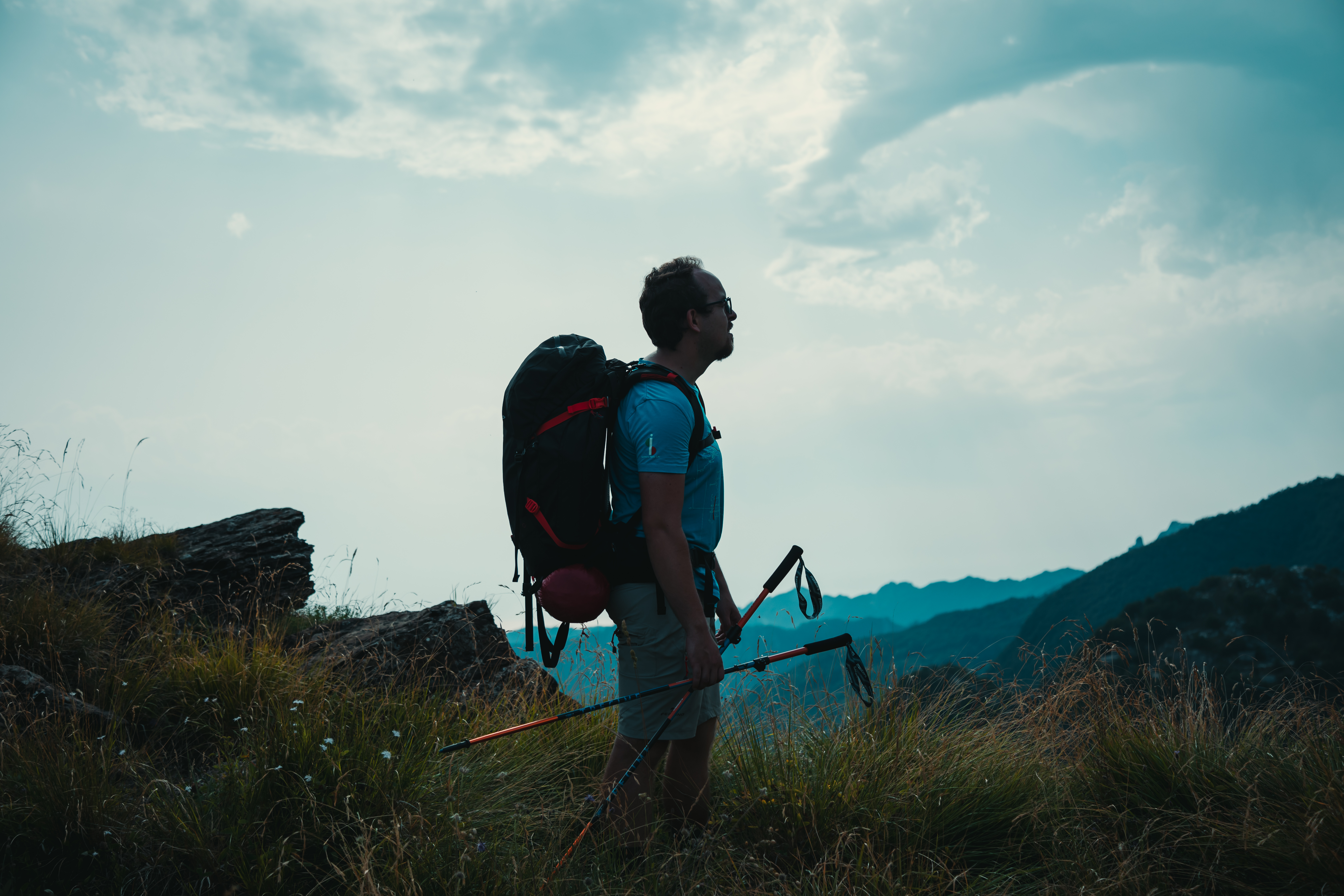
“Linea 7000” is a project that aims to show that all of our mountains and trails are easy to reach using public transport. The project, which comes from an idea by Gian Luca Gasca, promoted by the Club Alpino Italiano [CAI - Italian alpine club] and supported by Ferrino, focuses on the route of the Sentiero Italia CAI [the Grand Italian Trail], the world’s longest trekking route, which crosses the Alps, the Apennines, and also the mountains on Italy’s two largest islands. It is a long itinerary that can also become an opportunity to discover Italy in a conscious manner, with a low impact on the environment. This new stage in Gian Luca's journey is going to show us the Apuan Alps in Tuscany. Let's take a look at how to reach the trail using public transport.
How to get to the Apuan Alps
It’s very easy to get to the Apuan Alps. There are lots of regional train services to the station at Massa Centro, where you will already be able to observe the skyline of the Apuan Alps, with their many marble quarries that, unfortunately have cut into the slopes and changed the shape of the crests. From Milan it takes about 4 hours to reach Massa by train, while from Rome it takes about 5 hours and from Turin, about 4 hours.
To the trails
There are various means to reach the Apuan Alps using public transport. The nicest route is most definitely the one to Pruno, a district of Stazzema. It is easy to get to Stazzema, thanks to the daily bus services, which also run during the weekend. Services are not frequent but the timetable offers the possibility to get there in good time to be able to go out on the excursion safely. The bus leaves the railway station in Pietrasanta (7 minutes from Massa, trains run hourly) and takes about 30 minutes to reach Pruno. The route up passes through a narrow valley, where the panorama is mostly closed, but just a few bends before Pruno, on the right, the scenery opens out onto a lovely view of Monte Forato, characterised, as its name would suggest (“Forato” means pierced) by a large hole, which is crossed by a fascinating and fun via ferrata.
The different stages
Pruno – Rifugio Del Freo
Duration: 2 h
Difficulty: E
Difference in height 600 m
Signs: red and white circles
From the car park at Pruno, take the road up to the small square, where you will also find a fountain with fresh water. From here, follow the signs to trail no. 122, which passes under an elegant archway before proceeding through the streets of the village, beginning to gain height and leaving the last, more isolated houses behind you. The path soon crosses an asphalt road, which you should follow for a few hundred metres on the right, until you come to the signs for Foce di Mosceta, also on the right. Continue along the steep trail through the woods, where there are numerous twists and turns from which you can admire the nearby Pania della Croce and, on the opposite side of the valley, the characteristic Monte Procinto. As you proceed, the trail finally emerges from the wood, passing through meadows with gentler slopes that will take you to the Passo dell’Alpino, a pass where you will find a completely different environment. If, to this point, there has been little to show the presence of the quarries, on the other side, the mountains seem to be completely transformed, to the extent that they seem to have been dismantled by the marble quarries. From the pass, the trail proceeds along the ridge, crossing through some interesting defence positions of the Gothic Line, and then to Rifugio Del Freo.
Rifugio Del Freo – Rifugio Puliti
Length: 10.89 km
Difficulty: E
Difference in height 424 m
Signs: red and white circles
From Rifugio Del Freo, take the trail no. 129, which bypasses Monte Corchia to the north, continuing below the quarry known as Cave del Retrocorchia, and arrives at Fociomboli (1230 metres). Here, you come to a dirt track up to Passo Croce. At this point, take the trail marked no. 10/141, which skirts Colle Cipollaio. We pass over the Galleria Cipollaio tunnel and then, along a marble road, we pass the northern face of Monte Altissimo, as far as trail no. 33 on the right. This path takes a gentle descent to the area of Le Gobbie and then to Rifugio. Puliti.
Return
From Rifugio Puliti, take the trail no. 155 down to the centre of Arni. This will only take a few minutes. Once in the village, you can take one of the daily buses (please note: there are no bus services at the weekend), which will take you to Castelnuovo Garfagnana. This is the departure point for buses to Pietrasanta (2 h).


Share this article